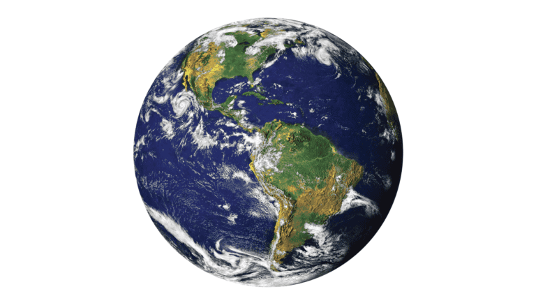
Image credit: Pixabay (Maicon Fonseca Zanco)
In recent years, synthetic aperture radar (SAR) technology has emerged as a game-changer in the field of remote sensing, offering unparalleled capabilities in imaging the Earth’s surface. Unlike traditional optical sensors, SAR systems can operate day and night, regardless of weather conditions, making them invaluable for a wide range of applications from environmental monitoring to military surveillance.
The core principle of SAR is its ability to simulate a large aperture, or antenna size, by moving a smaller antenna over a distance, thereby creating high-resolution images. This technology can penetrate clouds and foliage, providing detailed images of the ground even in adverse conditions.
One of the most exciting developments in SAR technology is the advent of small satellite constellations equipped with SAR sensors. These constellations offer frequent revisits to specific areas, enabling near-real-time monitoring of changes on the Earth’s surface. This capability is crucial for disaster response, such as tracking the progression of floods or landslides, and for agricultural monitoring, where timely data can inform crop management decisions.
Moreover, advancements in signal processing and data analysis have significantly enhanced the quality and accessibility of SAR data. Machine learning algorithms, in particular, are being employed to automate the extraction of valuable information from SAR images, making the technology more user-friendly and applicable to a broader range of users.
As SAR technology continues to evolve, it holds the promise of transforming our understanding of the Earth’s surface and our ability to respond to global challenges. With ongoing innovations and decreasing costs, the future of SAR in remote sensing looks brighter than ever.
References
Harris, Mark 2024, ‘AI Generates 3D City Maps From Single Radar Images’, viewed 9th April 2024, <https://spectrum.ieee.org/synthetic-aperture-radar>


